
Field Audits for GIS
Our team of experts have developed a cost-effective approach to updating Geographic Information Systems (GIS) using Global Positioning Systems (GPS).
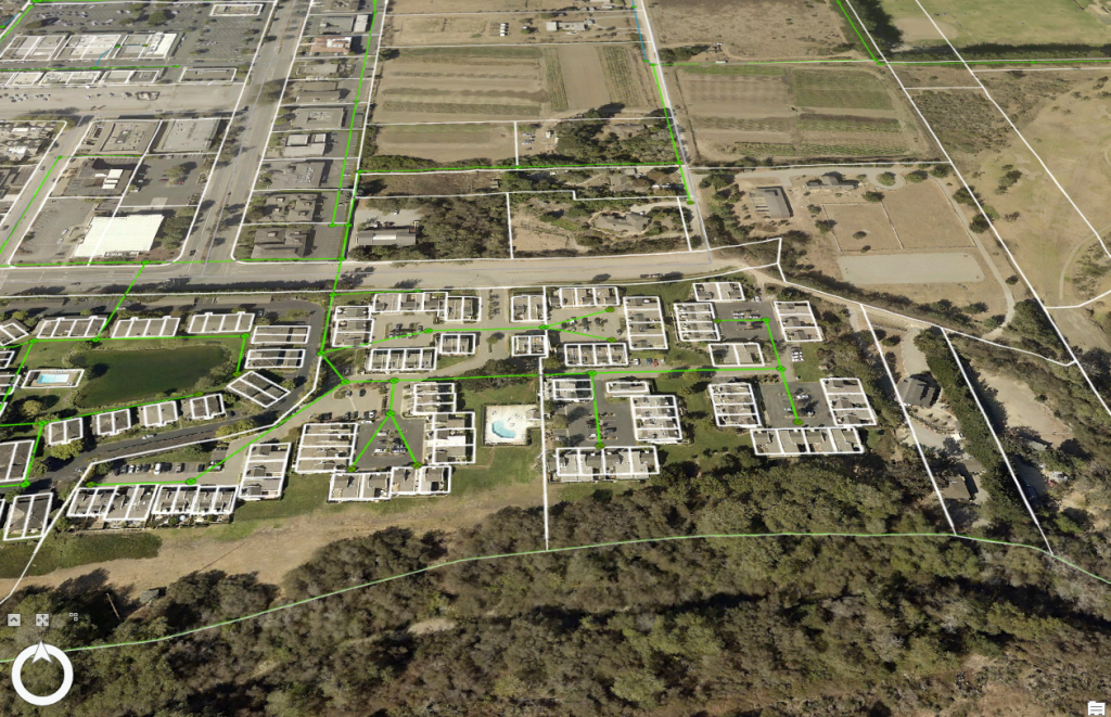
Field Audits take your GIS into the field to ensure what’s in the ground is in the computer. Field verification can be done in the field with mobile maps and apps.
Connecting the field and office with Web GIS.
Step 1: GIS Conversion and Data Preparation
The first phase of every project begins by converting and updating existing GIS data. Many cities and municipalities rely on outdated or incomplete asset maps. We begin by reviewing old GIS datasets, CAD drawings, as-built plans, and paper records. Our team cleans and standardizes this data to ensure it is compatible with modern Web GIS platforms. This step allows us to create a solid foundation for the project, providing a comprehensive understanding of current infrastructure. Our Web GIS system allows for real-time data sharing between stakeholders, project managers, and local agencies, fostering collaboration and decision-making efficiency.
Step 2: Field Audits with GPS and Drone Technology
Once the data is prepared, we move into the Field Audits phase. Utilizing high-precision GPS units and drone technology, our team conducts detailed field inspections of water valves, hydrants, stormwater systems, manholes, and other critical infrastructure. Field audits ensure that what is in the ground matches what is in the GIS system. This step helps verify and update asset locations, ensuring the highest level of spatial accuracy. Drones are deployed for aerial imagery and elevation mapping, providing an overview of terrain and infrastructure, particularly useful for planning green infrastructure projects. This updated data is then incorporated into the GIS for real-time visualization and analysis.
Step 3: Real-Time Monitoring with Dashboards and Web Experience Apps
We integrate the updated GIS data into custom dashboards and Web Experience Apps, using platforms such as ESRI’s Web GIS. These dashboards enable real-time monitoring of project progress, asset conditions, and infrastructure performance. The Web Apps we develop are user-friendly, allowing project stakeholders, including city planners, engineers, and contractors, to interact with the data. By providing a seamless connection between field and office, our solutions ensure that all team members have the latest information at their fingertips. This step fosters transparency and collaboration, driving project success and long-term sustainability.
Step 4: Green Infrastructure Design and Implementation
With accurate GIS data and real-time monitoring in place, we move to the design and construction phase. Green infrastructure solutions, such as permeable pavements, rain gardens, bioswales, and bioretention ponds, are strategically placed to manage stormwater at its source. Our team works closely with landscape architects and contractors to design, build, and maintain these systems. By leveraging the power of GIS and field audits, we ensure that the green infrastructure projects are not only environmentally beneficial but also cost-effective and efficient. This holistic approach allows us to create healthier, more sustainable urban environments.
Step 5: Ongoing Monitoring and Maintenance
Once the green infrastructure is installed, our work doesn’t stop. We continue to monitor the system’s performance through regular Field Audits and drone inspections. By using real-time data in ESRI Dashboards, we can track metrics such as stormwater flow, infiltration rates, and asset conditions. Our Web GIS system also allows for easy scheduling of maintenance tasks, ensuring that green infrastructure systems remain functional over the long term. These monitoring and maintenance activities ensure the longevity of the projects, while also providing cities with tools to manage their assets proactively.